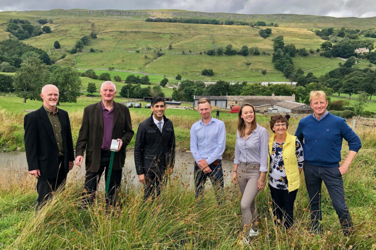
Monitors have been installed for a customer on a project that is part of a larger project to study flooding on the River Aire in West Yorkshire. The mini-catchment has a wide range of features that need to be monitored and understood to form the basis for Natural Flood Management (NFM) decisions.

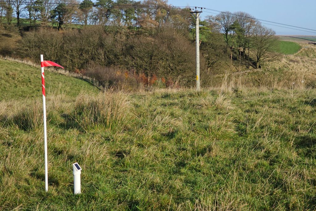
A unit monitoring an area of rushes and tall grasses.
Monitoring the tops of hills, hillsides, floodplains and small tributaries all contribute to a better understanding of the hydrological processes working in the mini-catchment.
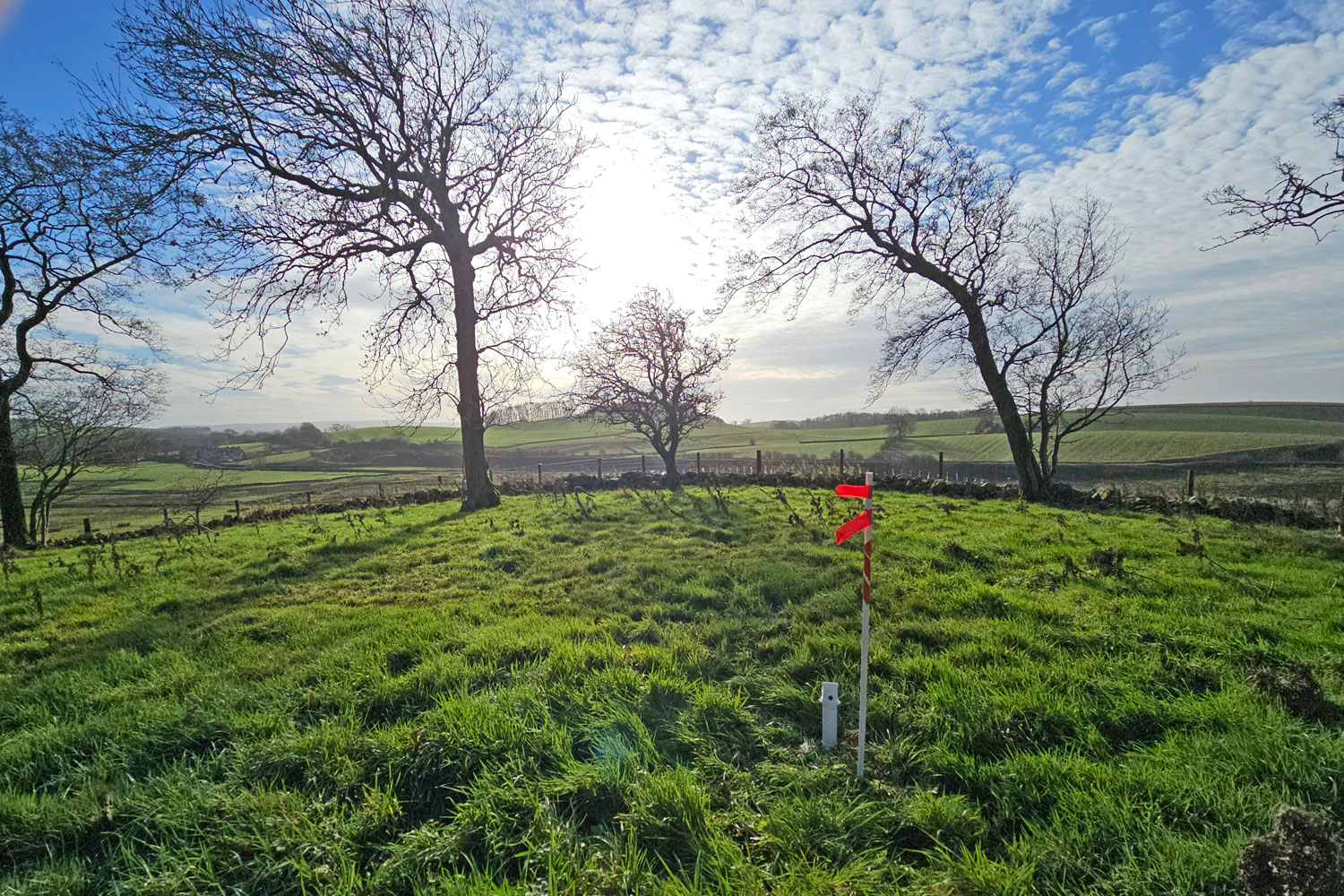
We placed flag markers to help indication the location of units in areas were farmers might be driving.
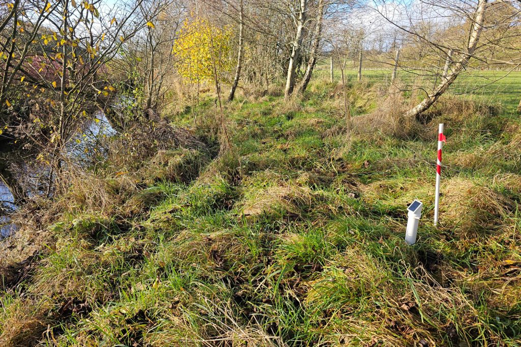
Monitoring the strip between a farm field and the main watercourse.

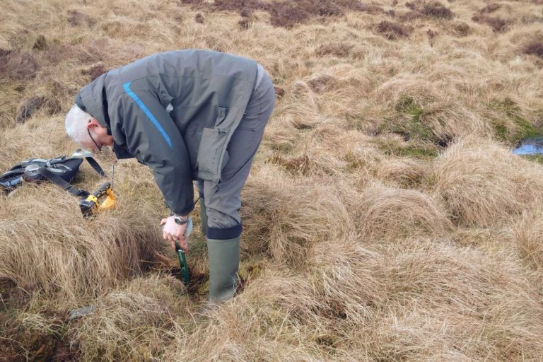
Using an adapter to monitor Overland Flow in a Bund.
Monitoring the top of a hill in an area with grazing sheep.

A mounted unit acting as a river depth guage to track when the watercourse rises and the leaky dam engages.